
AI Image to Map Tool
Describe a Place, Get a Map
Describe the geography you need and the AI image to map tool renders it as a finished map image — isometric city districts, topographic contour art, satellite terrain, transit schematics, parchment fantasy worlds, and top-down game levels. Built for geographers, urban planners, educators, and worldbuilders who need map visuals in minutes rather than an afternoon. Free to try, no signup required.
Try the AI Image to Map Tool — Free
Pick a map style, describe your geography, and get a finished map image in seconds
AI Image to Map Tool
Choose a cartographic style and describe the place you want mapped — the AI renders it as a clean top-down map image
AI Map Generator Examples
City plans, terrain, transit networks, and fantasy worlds generated from a description
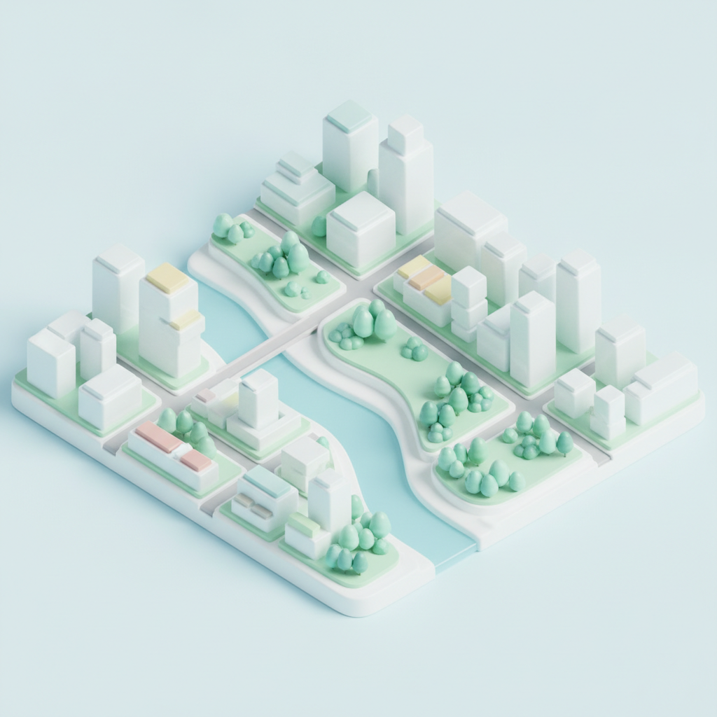
Isometric City District
URBAN PLANNING VIEW
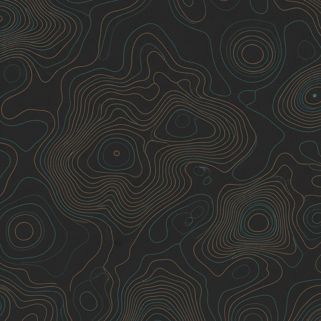
Topographic Contours
ELEVATION LINEWORK
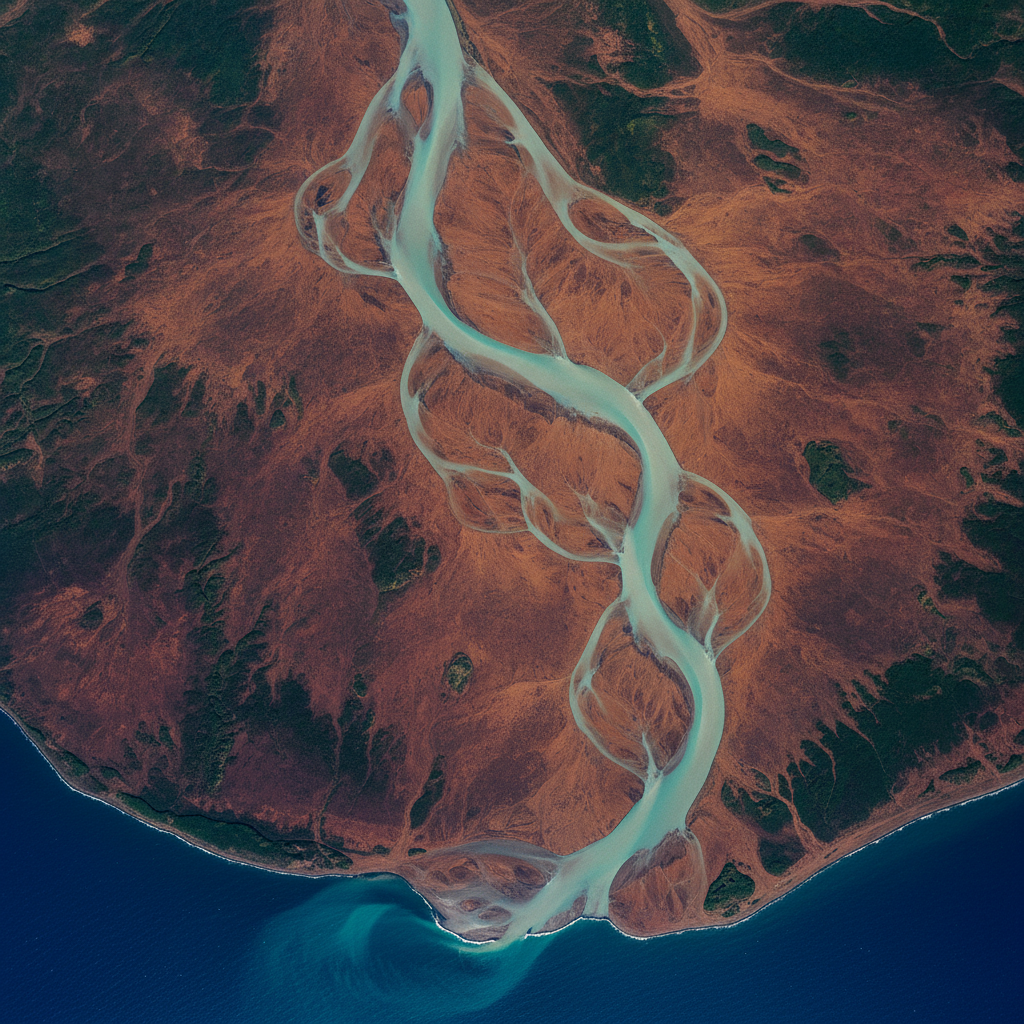
Satellite River Delta
AERIAL TERRAIN
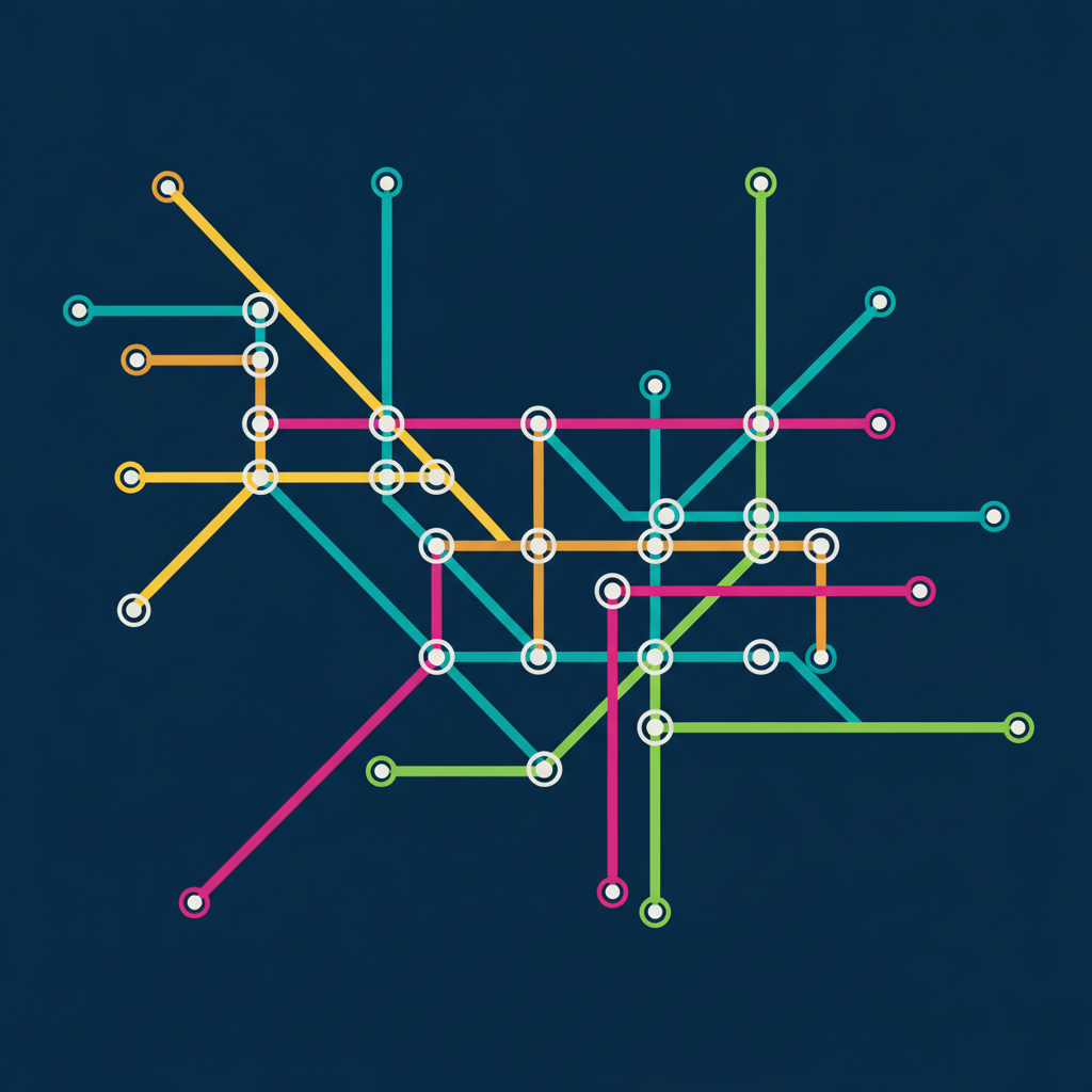
Transit Network
SCHEMATIC DIAGRAM
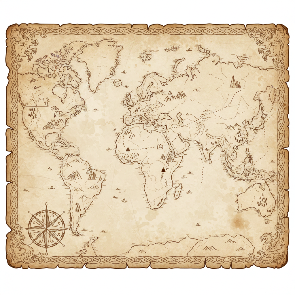
Parchment World Map
FANTASY CARTOGRAPHY
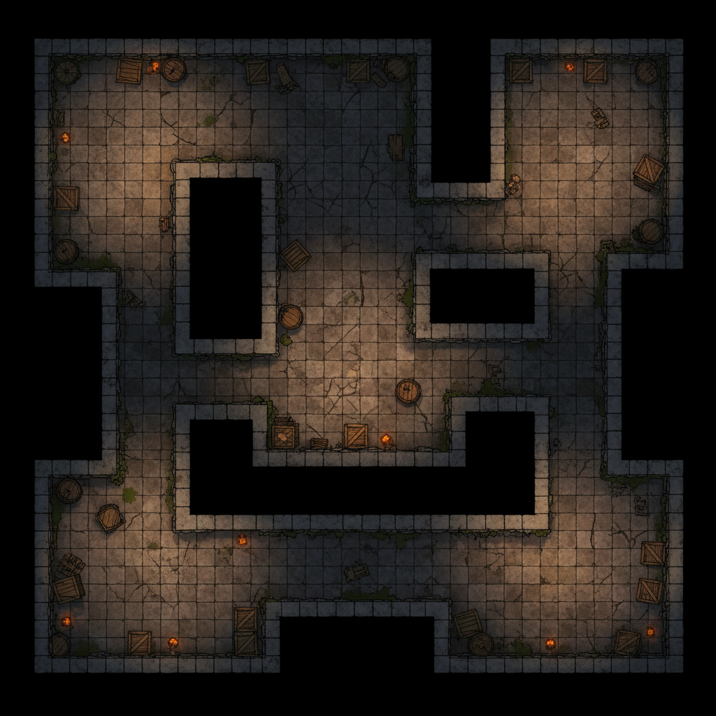
Game Level Plan
TOP-DOWN LEVEL MAP
How the AI Image to Map Tool Works
Three steps from a written description to a finished map
Pick a Map Style
Choose the cartographic language first — isometric city, topographic contours, satellite terrain, transit diagram, parchment fantasy, or game level plan. Each preset already carries the viewpoint, palette, and linework conventions that style depends on, so you only have to describe the place.
Describe Your Geography
Add the landforms you need — a seven-island volcanic archipelago, a canyon river valley, a walled harbour district, a mountain pass between two basins. Name the scale and the palette too. Specific geography is what separates a usable map from a generic one.
Download & Label
Download the map in high resolution with no watermark, then drop in real place names and a legend in Figma, Canva, PowerPoint, or your game engine. Sharp, editable type over a clean AI base layer is how the strongest illustrative maps get assembled.
Why Choose the AI Banana Image to Map Tool
The fastest route from a description of a place to a map you can present
Six Cartographic Styles, One Tool
Isometric city districts for planning decks, abstract topographic contours for editorial spreads, satellite terrain for geography lessons, transit schematics for infographics, aged parchment for fiction and tabletop campaigns, and top-down level plans for game design. The AI image to map tool covers each with a tuned preset instead of leaving you to describe the whole visual language from scratch.
Seconds Instead of an Afternoon
Hand-drawing a world map means sketching coastlines, inking contours, laying colour, and building texture — an afternoon of work before anyone sees a draft. Digital map creation here collapses that into a single generate, so you can put four rough map directions in front of a class, client, or design team in the time one manual draft would take.
Real Terrain Logic
Rivers run downhill and widen toward their mouths. Deltas braid. Contour lines nest instead of crossing. Coastal shelves shade from turquoise to deep blue. Map visualization AI trained on real cartography and satellite imagery produces geography that reads as plausible, which is what makes an illustrative map convincing rather than merely decorative.
Clean Unlabelled Base Layers
Generated maps come without place names on purpose. Image models render lettering as convincing gibberish, so labels baked into the artwork make a map look broken up close. You get a clean base layer and add real, sharp, editable type in Figma, Canva, PowerPoint, or your game engine — which is how professional cartography is assembled anyway.
Built for Teaching and Planning
Geography and history teachers build lesson visuals without hunting for licensable cartography. Urban planners sketch concept districts long before formal drawings exist. Authors illustrate invented continents. Game designers block out levels and world maps. These AI geographic tools serve the illustrative half of mapping that GIS software was never designed for.
Free to Start
Generate your first map completely free with trial credits — no credit card, no signup wall. Paid plans start at $2.99 and unlock higher volume, 4K resolution, watermark-free downloads, and full commercial rights for published books, shipped games, printed curriculum, client decks, and marketing campaigns.
Map-Based AI Tools for Every Project
Where digital map creation earns its keep
Frequently Asked Questions
Everything you need to know about the AI image to map tool
Ready to Map the Place in Your Head?
Join 1,400+ geographers, urban planners, educators, and worldbuilders using the AI image to map tool to turn a written description into a finished map image. Pick a style, describe your terrain, and download a clean base layer in seconds.
AI Image to Map Tool: Digital Map Creation Powered by AI
AI Banana's AI image to map tool turns a written description of a place into a finished map image. Choose a cartographic style, describe the geography you have in mind, and the model renders it as a clean top-down illustration — an isometric city district with tree-lined boulevards and a river running under bridges, nested topographic contours in amber and teal, a satellite view of a braided river delta, a transit schematic of colour-coded lines and interchange dots, an aged parchment continent with stippled mountain ranges, or a stone-tiled dungeon floor plan lit by torches. What normally takes an afternoon of sketching, inking, and colouring comes back in seconds.
It is worth being precise about what these AI geographic tools are for. This is illustrative cartography, not surveyed geospatial data — there are no real coordinates, parcel boundaries, or routing behind the image. If you need those, a GIS platform is the right instrument. But an enormous share of the maps people actually make are illustrative: the lesson slide, the concept district, the fantasy continent, the coverage graphic in a pitch deck, the terrain overview in a trail brochure. That work has always been stuck between expensive commissioned illustration and generic clip art. Image mapping AI fills exactly that gap, and it fills it fast enough that you can put four directions in front of a room instead of defending one.
Maps generated here deliberately arrive without place names. Image models render lettering as convincing-looking gibberish, so labels baked into artwork make a map look broken the moment anyone reads it closely. The generator is tuned for clean unlabelled base layers — coastlines, elevation banding, road and rail networks, district massing, water systems — which you then label in Figma, Canva, PowerPoint, Illustrator, or your game engine with sharp editable type. That is how professional cartography is assembled anyway: geography as one layer, typography as another. The result is a map that survives being printed large or projected on a classroom wall.
Start using the AI image to map tool today. AI Banana is free to try — no credit card, no signup wall. Pick a style, describe a place, and download your first map in high resolution with no watermark. Paid plans start at $2.99 and unlock higher volume, 4K output, and full commercial rights for published books, shipped games, printed curriculum, client presentations, editorial layouts, tourism guides, and wall art. Your geography, your style, your map — powered by map visualization AI from AI Banana.
More AI Tools
Explore more AI-powered diagram and illustration tools from AI Banana